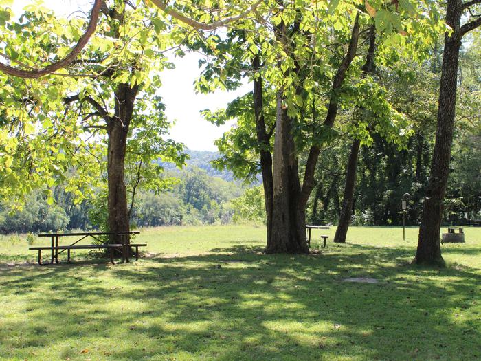
Rush Campground
US
Rush Campground is located in the Lower District of the Buffalo National River, and about 17 miles (27.4 km) southeast of Yellville. It has 12 tent-only sites. Drinking water is available when fees are collected from approximately March 15 through November 15. All sites are limited to 6 people per site, and each site is $16 per night. All sites must be reserved in advance. A vault restroom is available year-round.Rush is located in the Lower District of the Buffalo River, offering access to Clabber Creek, and many great day hiking destinations in the park.The Lower River District allows for extended seasons for kayaking, canoeing and tubing. If there's enough rain, the river is floatable year-round. For hikers and history buffs, the 1.5-mile Rush Mine Level Trail and 0.25-mile Morning Star Loop offer beautiful views of Rush Valley and gives hikers an understanding of the historic mining and landscape. In the 1880s, zinc ore was discovered in the hills and claims were staked out along Rush Valley and neighboring Clabber Creek. Eventually, a community of homes and businesses developed along Rush Creek and endured until the 1960s. Come and explore this unique history as you hike Rush Mountain. Additionally, small-mouth bass, catfish and sunfish are popular fish to catch on the Buffalo River, but visitors should be aware that an Arkansas fishing license is required to fish anywhere on the river. For current paddling conditions, please check with an outfitter (visit our Guided Services web page ), call the Tyler Bend Visitor Center at 870-439-2502, or check the Buffalo National River Float Guide DashboardFor facility specific information, please call (870) 449-4311.Rush has 12 reservable tent-only sites with potable water available from approximately March 15 through November 15 each year, but no electrical amenities. A vault restroom is available year-round.The Buffalo National River flows free over swift running rapids and quiet pools for its 135-mile (217 km) length. One of the few remaining rivers in the lower 48 states without dams, the Buffalo cuts its way through massive limestone bluffs traveling eastward through the Arkansas Ozarks and into the White River.
Check availability & book
| Mo | Tu | We | Th | Fr | Sa | Su |
|---|---|---|---|---|---|---|
6 spots free on 2026-07-17
Book ↗